
On the sixth day of Steampunk Christmas,
My true love gave to me:
Six Antique Maps.

Map of the California Gold Region. Source: Library of Congress
A good airship captain needs a good map to navigate by. Fortunately, antique maps are easy to find and, framed and matted, make a great gift. They can be a little pricy, however.
If you want the look of antique maps to steam up your home decor, there are many sources of high-resolution reprints on-line. Provided you want to go completely DIY, two sources pop out:
Both of these libraries have digitized parts of their map collections and have made them available for download. There are also additional local and state libraries that have digitized their collections (the British Library has many links for the UK), not to mention the historical map collection of the US Geological Survey. Choose one you–or the lucky recipient of your gift–would like, print it out, and put it in an appropriate frame. For an extra authentic look, you can print it on printer grade parchment paper such as this.
One other interesting collection in the Library of Congress is of Panoramic Maps, basically hand-drawn aerial views which the artist (with varying accuracy) filled in by walking up and down the streets drawing in the buildings. The picture below is a snippet of a high-resolution download of a panoramic view of San Jose, California in 1869, showing my neighborhood, although I am sure none of the houses shown exist anymore (if they ever did…).
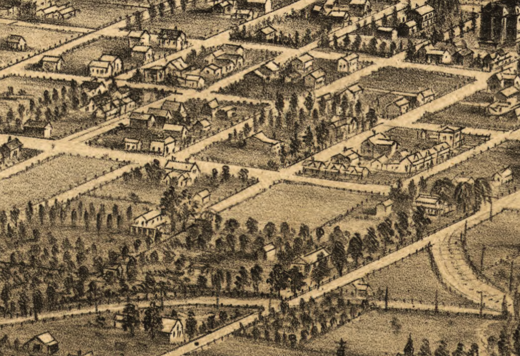
Detail from San Jose, CA panoramic map, 1869. Source: Library of Congress.
Antique maps are a great way to add interesting artwork to your home and to give it a bit of an explorer/adventurer feel.
On the Fifth Day of Steampunk Christmas…
On the Fourth Day of Steampunk Christmas…
On the Third Day of Steampunk Christmas…

Reblogged this on The Obsession Engine and commented:
Pretty good series of posts from the Airship Flamel blog. Antique maps do indeed make pretty sweet, thematic decorations!
LikeLike